Jixel for the Earthquake
JIXEL for the L’Aquila Earthquake: REVENGE
-
JIXEL CAPGenerator – How it has being used during the L’Aquila Earthquake
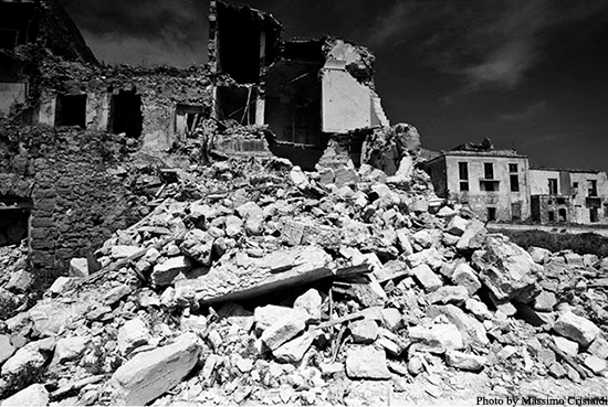
A recent application of Jixel is the exchange of information between Search and Rescue (SAR) teams in Abruzzo (Italy). On 6thApril 2009, an earthquake stroke, killing 299 people and damaging or destroying thousands of houses and buildings. Immediately after the disaster occurred, SAR teams started to gather in the area and activities were coordinated by the Italian Civil Protection. As usual, SAR teams from Italian “Vigili del Fuoco” (CNVVF) have been heavily involved, with 2300 firemen and 116 teams operating on a large area and organised in a central headquarter and 7 local headquarters.
A quick and reliable way of keeping track of the on-site activities was set-up by CNVVF and IES using JIXEL as underlying technology. A large number of actions were geolocated and tracked down during the first days after the earthquake.
This JIXEL deployment has been named REVENGE (Rete Virtuale tra Enti per la Gestione delle Emergenze – Virtual Network between Services for Emergency Management). The description of the intervention (including typology, location, brief description, urgency, severity and relevant information for all SAR teams) were input using the JIXEL CAPgenerator interface. -
JIXEL CAPGenerator – Its use in the aftermath of the L’Aquila Earthquake
As soon as the urgent SAR activities had ended, the focus of the rescue teams became the assessment of houses and building conditions. The immediate goal was to allow citizens to safely return to their homes and to identify any urgent restoring activities that may reduce risks and protect historical building during the after-shock seismic swarm. Again, teams from CNVVF are playing a major role, in combination with engineers and technicians from other Public Authorities.
A noticeable cooperation was established with the Italian Ministry for Arts and Cultural Heritage (MIBAC) for the conditions assessment and monitoring of historical buildings (e.g. churches or medieval castles).
JIXEL offered another flexible and effective solution to the challenge of having different teams, with different priorities and technical procedures, to cooperate and quickly share a geographical view of the building to be monitored and of the on-going results of the on-site activities.
Hundreds of historical buildings were geolocated and actions assigned and monitored, also allowing the generation of statistical reports. Description of the buildings (including typology, location, brief description, actual conditions and relevant information for the teams e.g. pictures) were input using the JIXEL CAPgenerator interface.
All information created using the CAPGenerator interface can be accessed by the intended recipients and displayed on the CAPViewer geographical interface. -
JIXEL Capviewewer
With a combination of map view, synthetic textual presentation and full-details presentation, CAPViewer allows users to have an overview of the evolution of the situation in a selected area, as well as to access detailed information for further planning. Users may filter information according to several criteria, search a given location, be updated in real time with messages coming from other SAR teams. This way, vital information can be quickly retrieved and used.


